Missouri is divided into four major land regions. The Dissected Till Plains to the north of the Missouri River are part of the Central Plains region of the U.S. They are made up of rolling hills, open flatlands, and well-watered prairie. The Osage Plains cover the western part of the state. They are mostly flat prairie, broken by low rounded hills. The Mississippi Alluvial Plain, in the southeastern corner of the state, is made up of fertile black lowlands which were once floodplains of the Mississippi River. The Ozark Plateau, which makes up most of southern Missouri, is the state's largest single region. The Ozarks contain Taum Sauk Mountain, at 1,772ft (540m) the highest point in the state. Along the St. Francis River, near Cardwell, is the state's lowest point, 230ft (70m).
Missouri has more than 1,000mi (1,600km) of navigable waterways. The Mississippi and Missouri rivers make up the state's eastern border and part of its western border; Kansas City is located at the point where the Missouri bends eastward to cross the state, while St. Louis developed below the junction of the two great waterways. The White, Grand, Chariton, St. Francis, Current, and Osage are among Missouri’s other major rivers. The major flows of traffic within Missouri are from the east to west along the valley of the Missouri River and southward along the Mississippi River. Together, these two rivers provide more than 1,000mi (1,600km) of navigable waterways within the state, and they ultimately connect waterborne traffic with New Orleans.
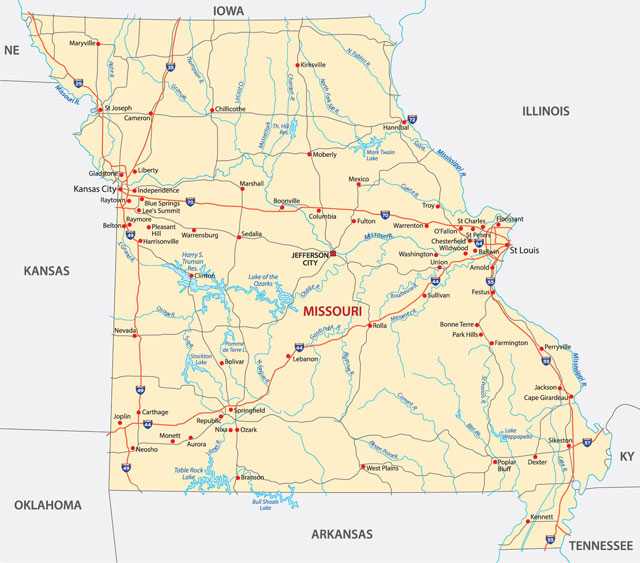
Missouri’s largest lakes were created by damming rivers and streams. The largest lake is the artificial Lake of the Ozarks, which covers a total of 93 sq mi (241 sq km), with 1,375mi (2,200km) of shoreline; it is among the largest artificial lakes in the country. Although most of Missouri’s artificial lakes were built to create hydroelectric power and to prevent flooding, they also provide the state with excellent recreational resources.
Missouri has a large number of caves and caverns. These were formed over the last 50 million years as limestone and dolomite rocks were eroded by melting snows containing acids. The Mississippi Valley area is geologically active: massive earthquakes during 1811 and 1812 devastated the New Madrid area of the southeast.
Missouri has a continental climate, but with a lot of variation from one part of the state to another. Maximum January temperatures usually range from the mid-30s F (about 2°C) in the north and northwest to the mid-40s F (about 6°C) in the southeast. The Ozarks are usually cooler than the rest of the state. The far northwest usually has milder summers (late June through late September) than the southeast, but summer temperatures well above 100°F (38°C) may occur in any part of the state.
The coldest temperature ever recorded in Missouri was -40°F (-40°C), set at Warsaw on 13 February 1905; the hottest, 118°F (48°C), at Warsaw and Union on 14 July 1954. A 1980 heat wave caused 311 deaths in Missouri.
The heaviest rain falls in the southeast, averaging 48in (122cm); the northwest usually receives 35in (89cm) yearly. Missouri lies in “Tornado Alley,” and receives about 25 twisters each year. Springtime is the peak tornado season. Occasionally, tornadoes can be extremely deadly and destructive, as with the May 2011 storm that devastated the city of Joplin.