Video: Telford |
||
Video: Ludlow from the air. |
||
2. Ironbridge
|
|
|
3. Ludlow Castle
|
|
|
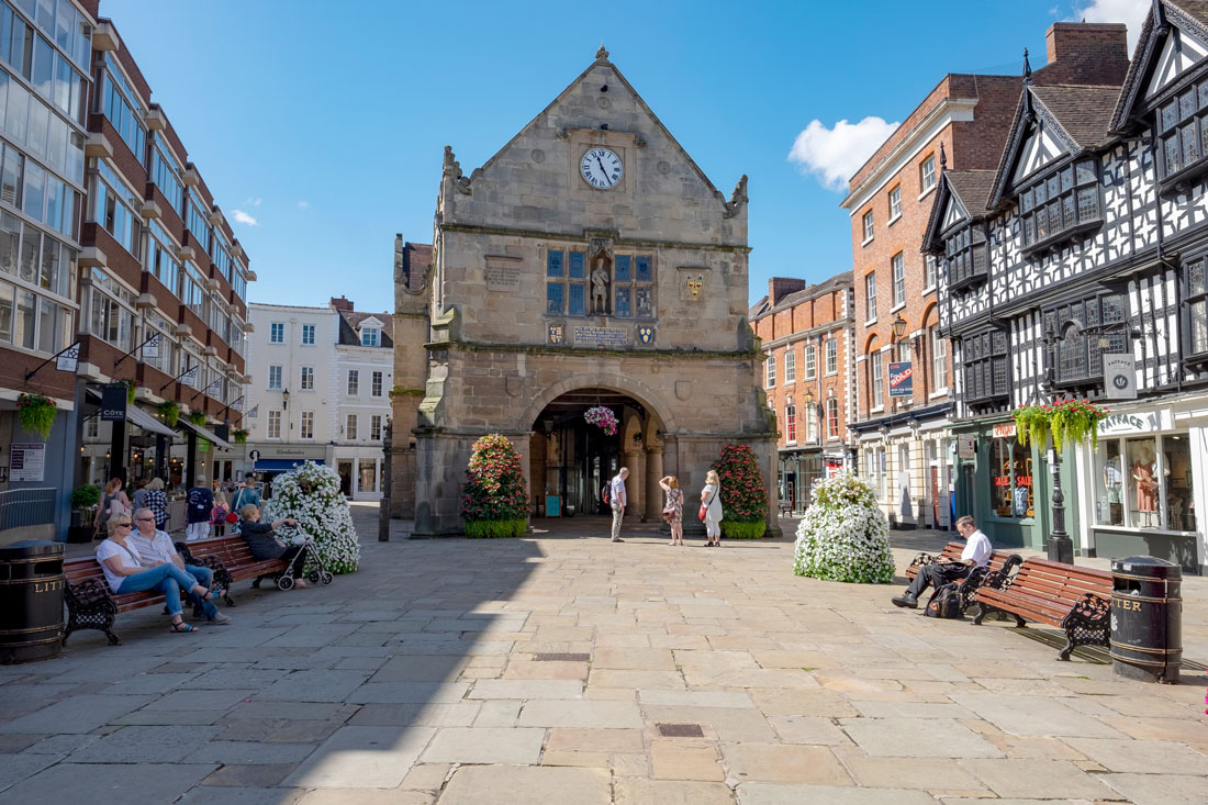
4. Shrewsbury
drive-thru |
|
|
5. Shrewsbury history
|
|
|
6. Whitchurch
|
|
|
7. Lead mining
|
|
|
8. Ironbridge from the road
|
|
|
9. Offa's dyke
|
|
|
10. Bridgenorth
|
|
|
11.Much Wenlock
|
|
|
12.Market Drayton
|
|
|
13. Newport
|
|
|
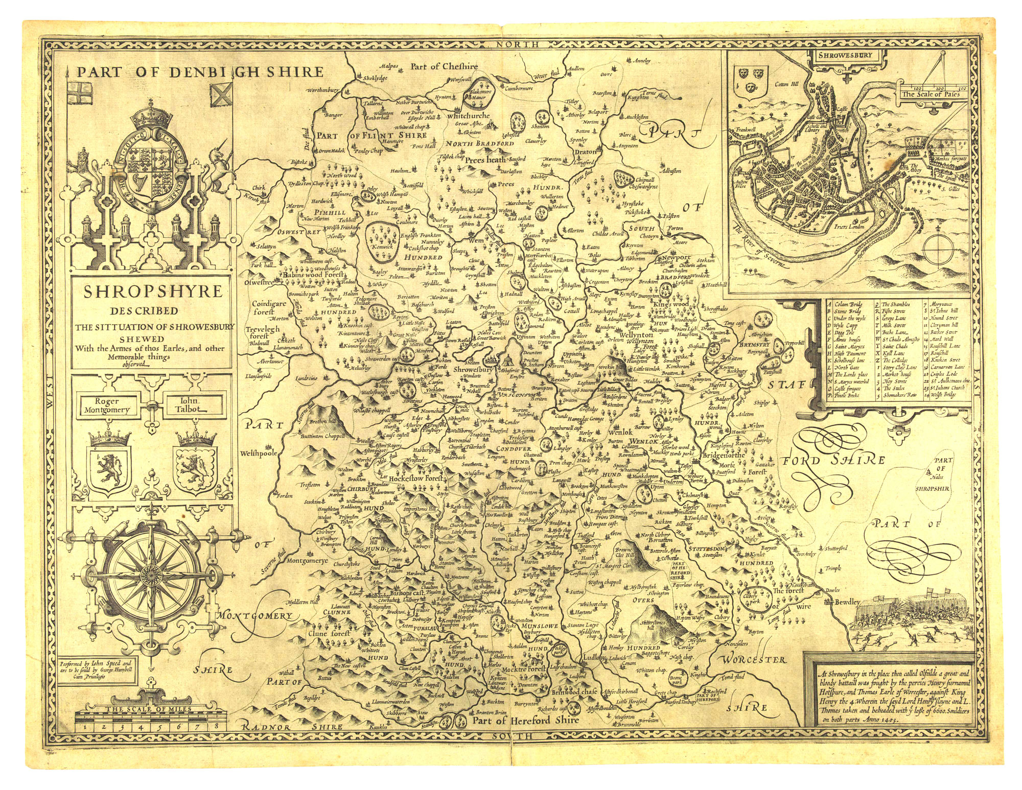
Shropshire is in the part of the Marches of the West Midlands. Its western border is Wales.
It is one of the least populated of the English counties. It has no cities. The main towns are the historic county town of Shrewsbury and Telford, which was founded as a new town in the east, merging a number of older towns. Most of the other towns are market towns with modest populations. These have mainly grown up on the North Shropshire Plain is an extension of the flat and fertile Cheshire Plain.
The most famous feature of Shropshire is the Ironbridge Gorge area (a UNESCO World Heritage Site) where the Industrial, Revolution started. Part of the LLangollen Canal World Heritage Site is also in Shropshire.
The county is hilly. The Shropshire Hills Area of Outstanding Natural Beauty covers about a quarter of the county, but the Wrekin is one of the most famous natural landmarks. The highest hills are the Clee Hills, Stiperstones and the Long Mynd, and Wenlock Edge The River Severn, Britain's longest river, runs through the county, including the Ironbridge Gorge.
The area was once part of the lands of the Cornovii, a tribal Celtic Iron Age kingdom, that was probably based around the a hill fort on the Wrekin.
After the Romans left Britain the 5th century, the Shropshire area became part of the Welsh Kingdom of Powys.
As Saxons invaders and settlers arrived from the east, so the earliest settlers gave the county its name: Scrobbesbyrigscīr, meaning the shire of the fortified place in the scrublands. But it was frontier territory for centuries until in the 8th century King Offa, then king of Mercia, pushed west to bring Shropshire into Mercia and also to mark the boundary with the earthen bank called Offa's Dyke.
When the Normans succeeded the Saxons after 1066, One of William's first acts was to give out land to the lords who had helped him in the conquest. It was clear that keeping the boundary with the Welsh was going to be difficult, and so he gave the land on the edge of Wales - that we now call the Marches - to those he thought could defend it best. As a result they became almost as powerful as the king. It was as a result of this that 32 of all 186 castle in England were built in the one county of Shropshire.
The biggest, and strongest of these castles were at Ludlow and Shrewsbury (and right by the border in Chirk). Even so, it was centuries before the struggles over the border were finally sorted, and that was due to Edward I reinforcing some castles to make the Ring of Stone to contain the Welsh. In medieval times, Ludlow was the seat of the Council of Wales and the Marches.
One of the important features of the rocks under Shropshire is their mineral and coal wealth. Lead, road, iron and other important minerals are found in the west, and coal, iron and limestone are also in the north around Oswestry. This was there reason that Shropshire became the place where the Industrial Revolution began, for both coal and iron were available in the same place.
At this time industry was in small villages, and when the Industrial Revolution took hold, it moved away from the hilly lands where it began to flat lands near Manchester and Birmingham.
You can still find remains of these small industrial villages. Telford New Town was made up from a collection of these industrial villages, for example.
The most famous place in Britain for the Industrial Revolution was the small valley of Coalbrookdale. It was here that Abraham Darby I developed the new idea of coke-smelting and ironfounding in the early eighteenth century.
Ironbridge is where the world's first iron bridge was constructed, to link other industrial villages of Broseley with Madeley and the Black Country (Birmingham). Ditherington is where the world's first iron framed building was built, the Ditherington Flaxmill.
Brick and china also became important, for example at Jackfield and Coalport. Millions of Broseley clay pipes were exported across the British Empire.
Away from these industrial villages, Shropshire was a farming county. New industries tend to be focuses towards the Mersey in the north. Shrewsbury has grown largely as a place of warehousing because it has good road links to many parts of the Marches. Shrewsbury also serves as the main centre for much of Mid Wales.
Telford, as a New Town, and Shrewsbury, as a historic centre, could not be more different. Shrewsbury relies on its network of narrow alleys to form the city centre shopping and tourist area, while Telford's biggest shopping is gathered in its modern mall.
Shropshire is slowly becoming busier, as people from cities look to live in the countryside. This accelerated quickly after COVID 19, adding to congestion on main roads such as the A5 as it approaches Wales.
